
Chisholm Trail Parkway Driving Views
Northbound, Cleburne to Downtown Fort Worth
Northbound, Cleburne to Downtown Fort Worth
Page last updated or reviewed: June 1, 2015 (create); April 18, 2016 (use new photos at north end)
The Chisholm Trail Parkway opened in May 2014. There was still construction in progress at the I-30 interchange in 2014, and all work was completed in 2015. In April 2016 I added photos of the completed project approaching I-30.

The south entrance to the Chisholm Trail Parkway is from US 67 on the north side of Cleburne.
(Photo date: 9-November-2014)

The first section is a standard four-lane divided highway.
(Photo date: 9-November-2014)

The highway becomes a super-2 design and stays that way for a while. A super-2 is a limited-access highway with only one lane in each direction, usually with a median barrier.
(Photo date: 9-November-2014)

The first toll plaza. There are three plazas on the full length.
(Photo date: 9-November-2014)

Approaching FM 917.
(Photo date: 9-November-2014)

The FM 917 overpass is designed to accommodate the southbound lanes on the left side in the future.
(Photo date: 9-November-2014)

Approaching FM 1902
(Photo date: 9-November-2014)

(Photo date: 9-November-2014)

At FM 1187 the super-2 configuration ends and the highway becomes a standard 4-lane divided design.
(Photo date: 9-November-2014)

The second toll plaza, quite expensive.
(Photo date: 9-November-2014)

(Photo date: 9-November-2014)

At Sycamore School Road we are in south Fort Worth
(Photo date: 9-November-2014)

The speed limit is 70 mph on this section, but will drop when we cross I-20.
(Photo date: 9-November-2014)

(Photo date: 9-November-2014)

From this point onward, the parkway is heavily landscaped. Here we see a landscaped berm in the median.
(Photo date: 9-November-2014)

Approaching Interstate 20
(Photo date: 9-November-2014)

(Photo date: 9-November-2014)
At the I-20 interchange. Some of the connectors were omitted to reduce cost. Movements in the directions of the missing connectors is done via the frontage roads.
(Photo date: 9-November-2014)

(Photo date: 9-November-2014)

(Photo date: 9-November-2014)
The section from I-20 to I-30 caused a lot of public opposition during the planning phase.
(Photo date: 9-November-2014)

(Photo date: 9-November-2014)

(Photo date: 9-November-2014)

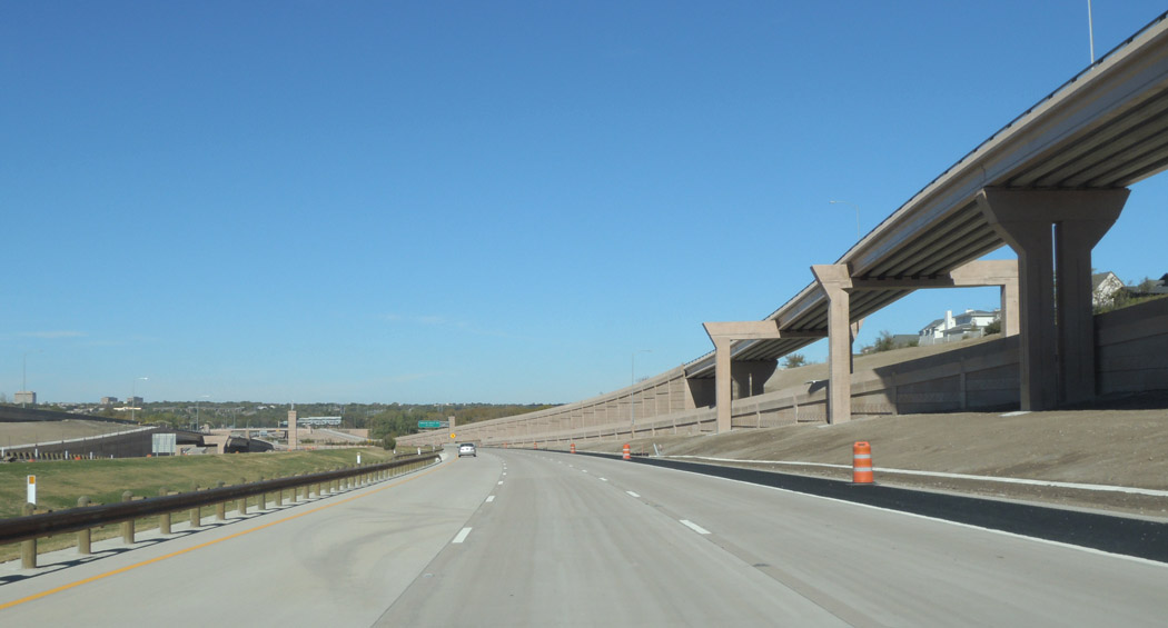
The section ahead looks like an actual parkway with forest on both sides.
(Photo date: 9-November-2014)
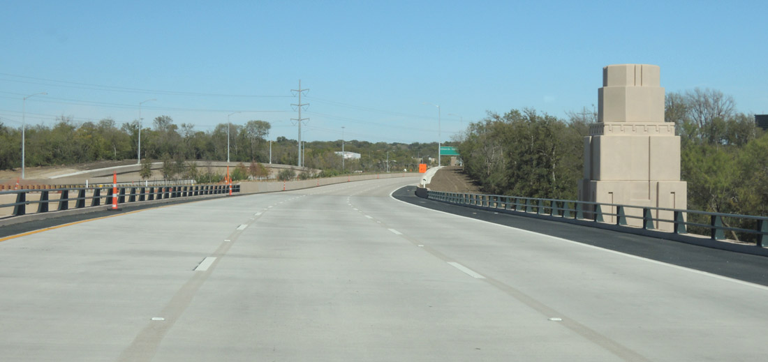
Architectural enhancement at the Trinity River crossing.
(Photo date: 9-November-2014)

At Edwards Ranch. This was the location of the large opening celebration in May 2014.
(Photo date: 9-November-2014)

Ahead the parkway will cross over the railroad yard.
(Photo date: 9-November-2014)

Hulen crosses over the parkway.
(Photo date: 9-November-2014)

The Union Pacific Davidson rail yard is visible on the right. Delays and extra cost were incurred to develop a design and construction plan which prevented disruptions to rail yard operations.
(Photo date: 9-November-2014)

The last toll plaza. The toll for the full length is $4.64.
(Photo date: 9-November-2014)

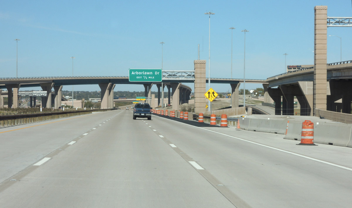
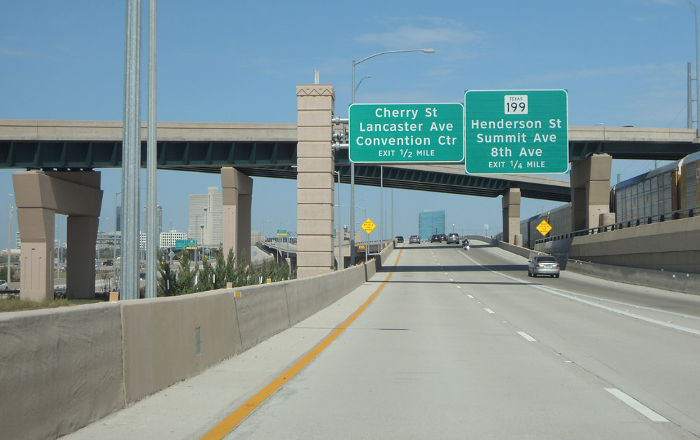
At Mongomery Street
(Photo date: 26-March-2016)
(Photo date: 26-March-2016)

(Photo date: 26-March-2016)

(Photo date: 26-March-2016)

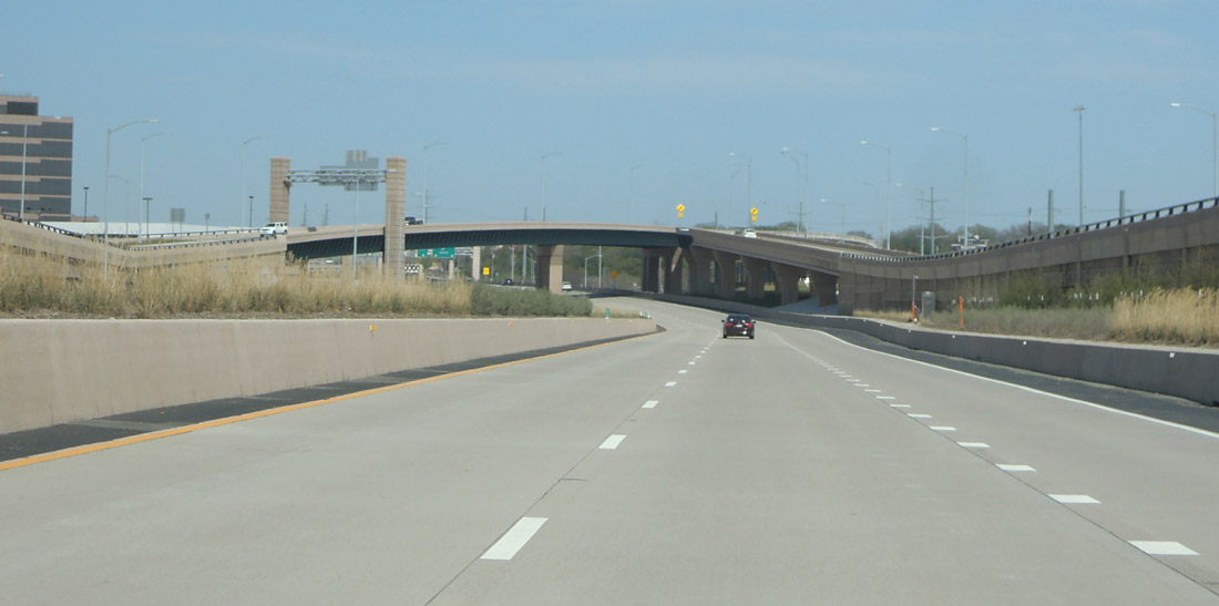
Notice the architectural enhancements on the left
(Photo date: 26-March-2016)
(Photo date: 26-March-2016)

(Photo date: 26-March-2016)

(Photo date: 26-March-2016)
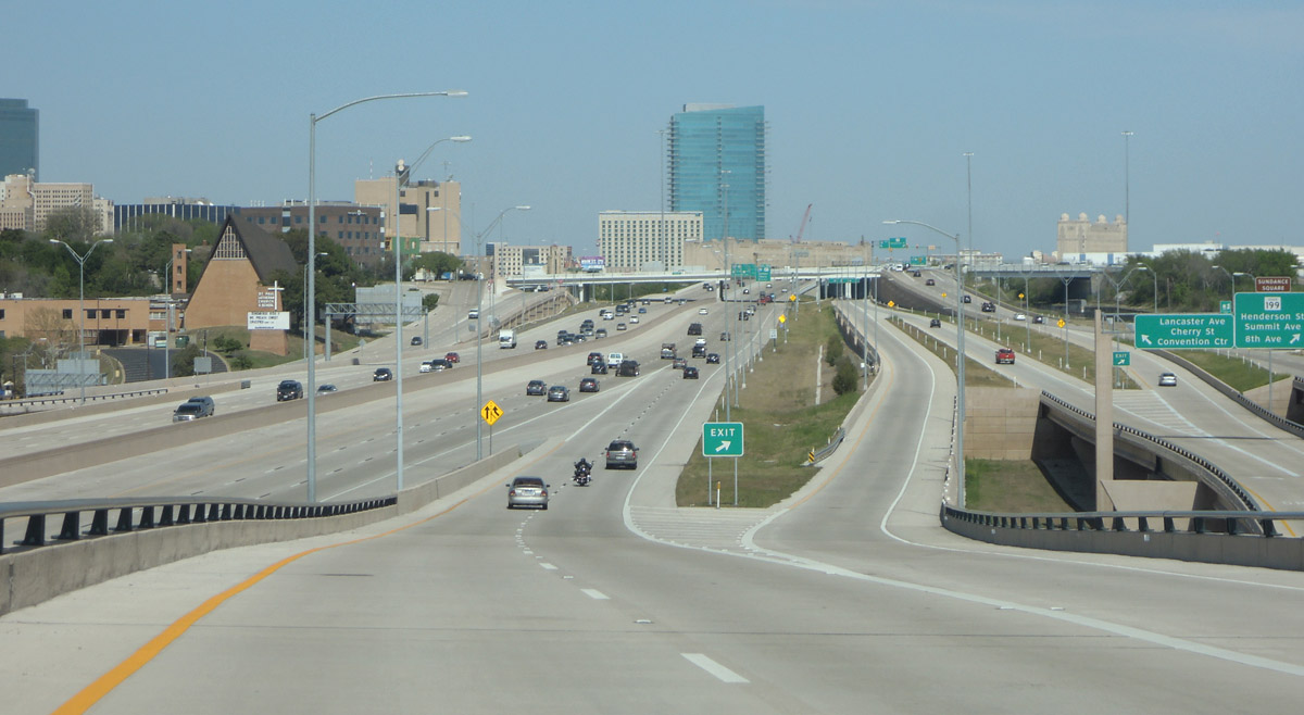
Merging into I-30 eastbound just ahead.
(Photo date: 26-March-2016)